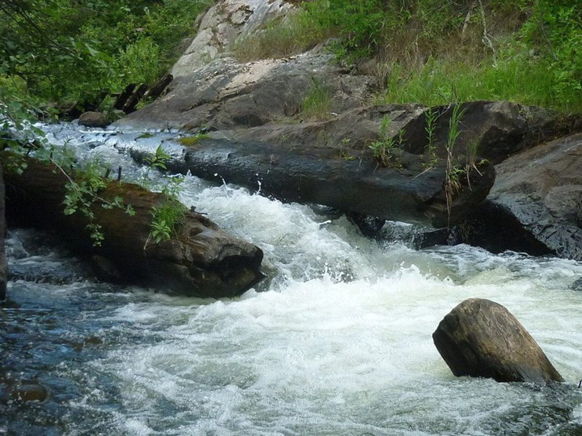
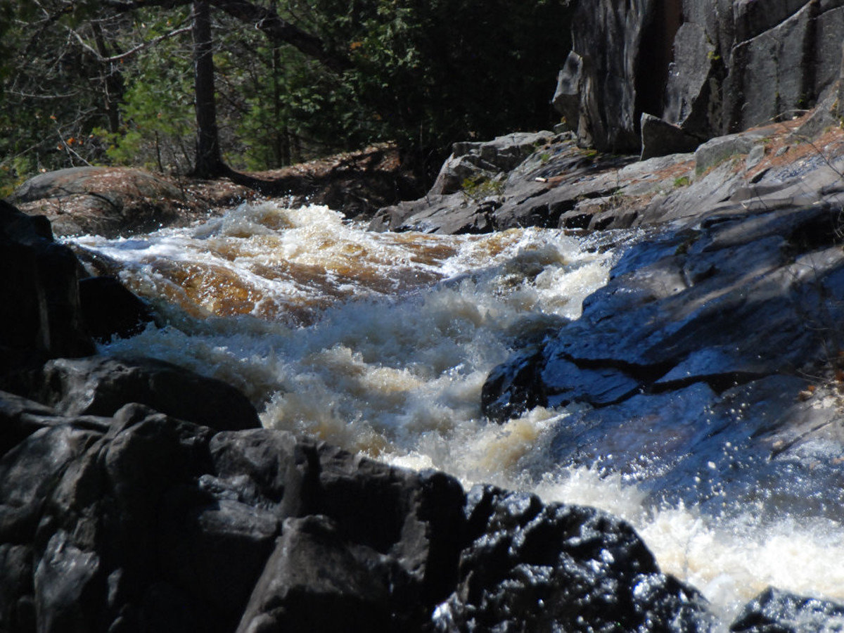
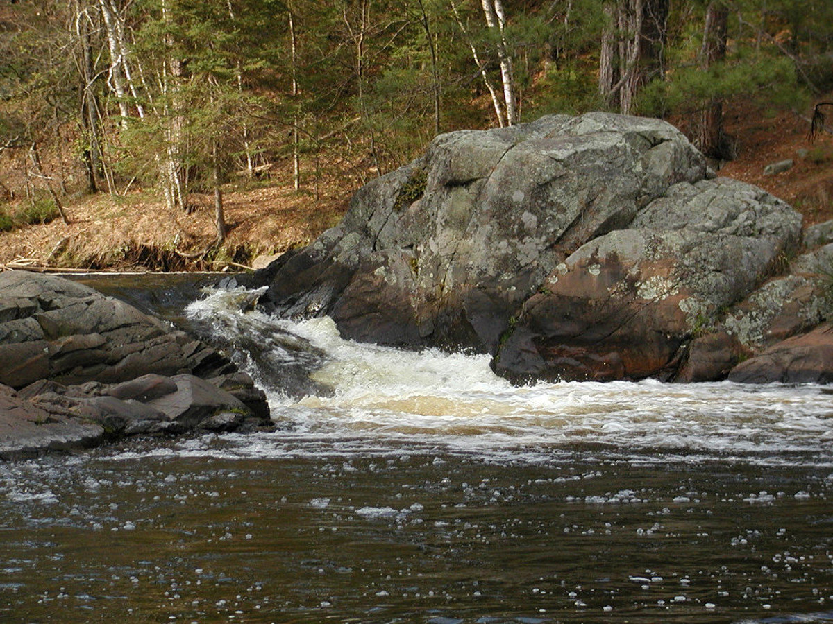
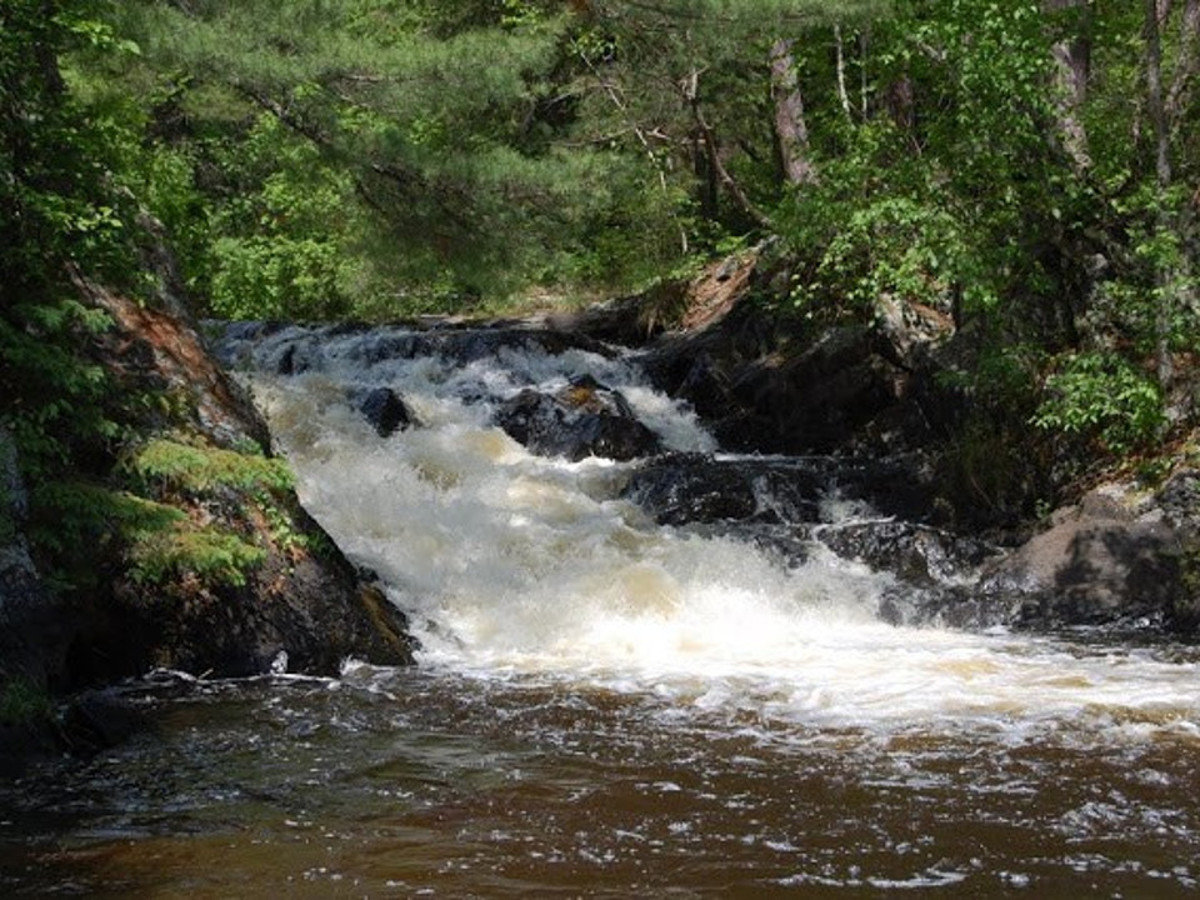
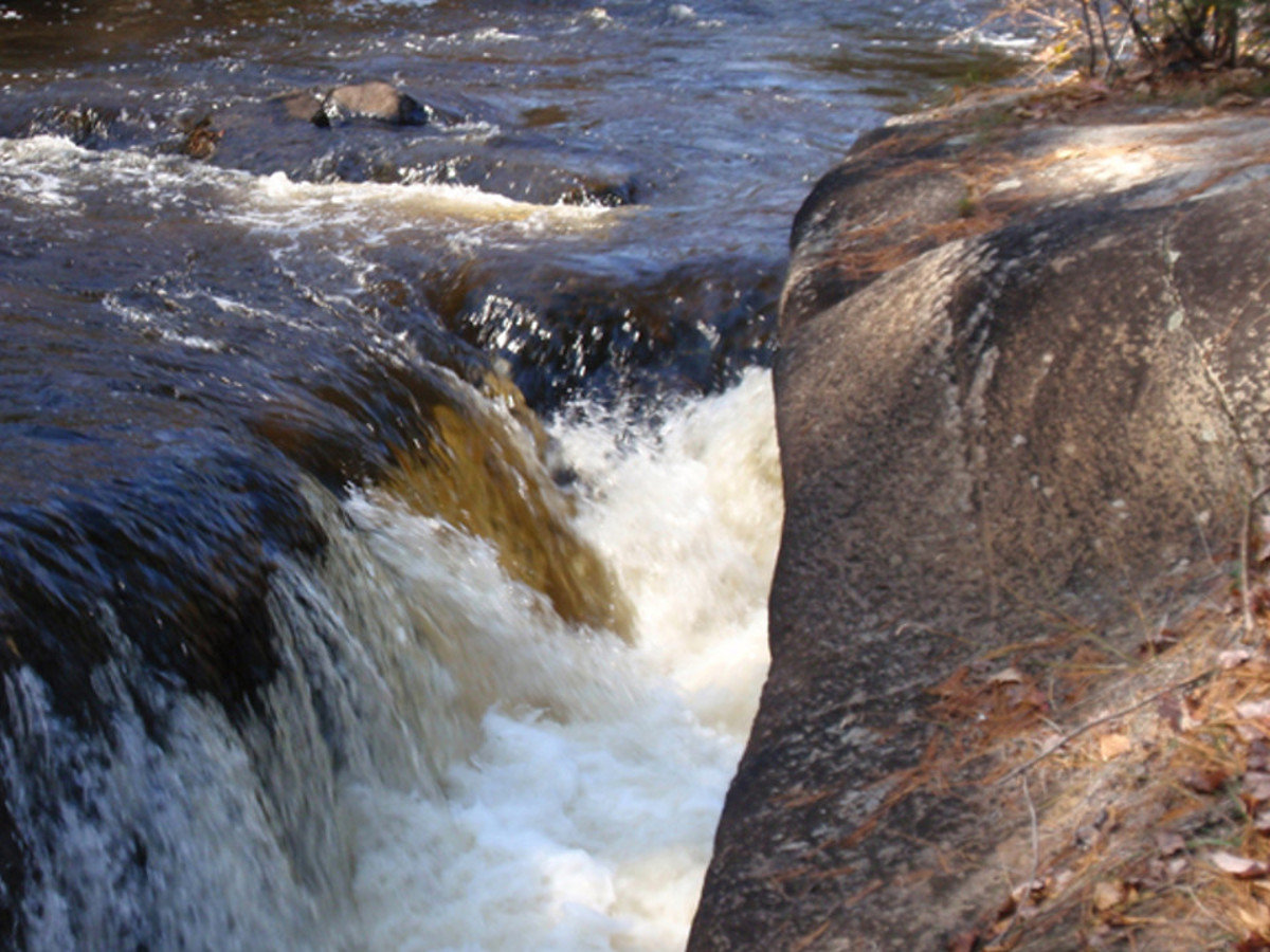
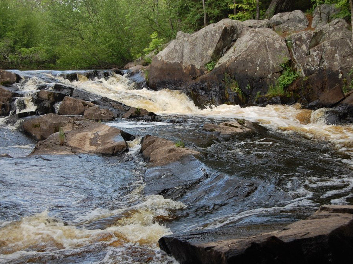
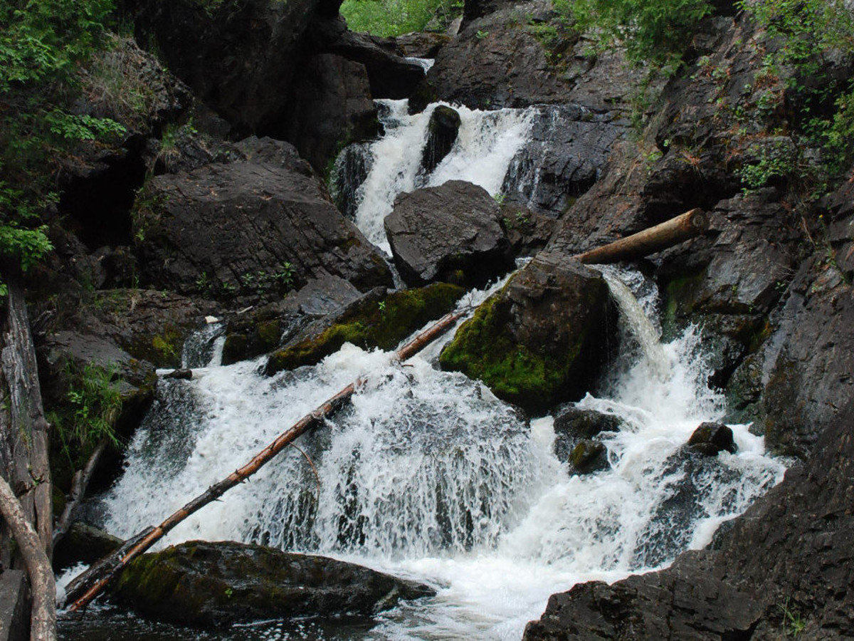
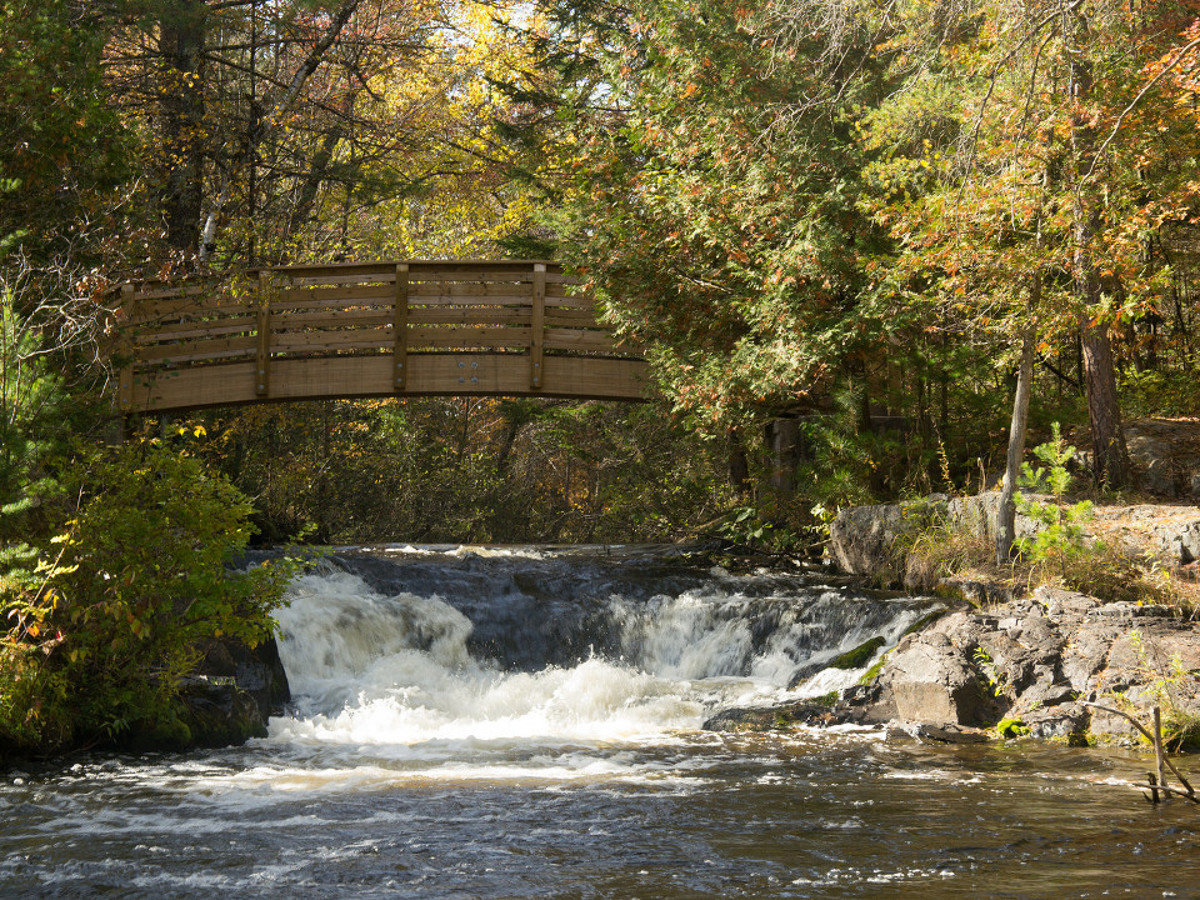
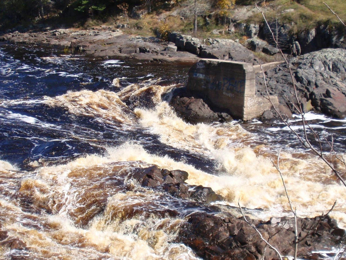
Bull Falls

Bull Falls

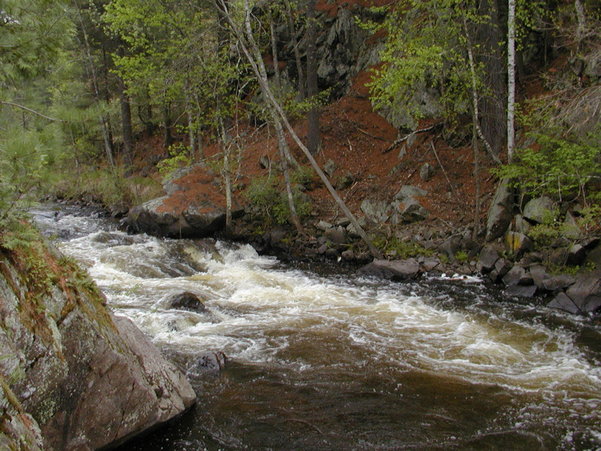
Bull Falls is located on the Pike River just south of Amberg and across the highway from Dave’s Falls County Park. Take County Rd K east off of Highway 141 for a half mile to the power lines. Park and walk down the power lines to the river, and the Bulls Falls is just downstream. … Read more

Carney Rapids

Carney Rapids

The Carney Rapids are located on the Pike River  just south of Highway 8 on Old County A. This series of rapids can be seen right from the bridge where County A crosses the Pike River. Carney Rapids GPS Coordinates Latitude: 45.623958 Longitude: -88.165809 Altitude: 341 meters

Dave’s Falls

Dave's Falls

Dave’s Falls is also located on the Pike River in Dave’s Falls County Park, on Highway 141 just south of Amberg. There are several other falls located just upstream, and they are accessible from either side of the river thanks to a foot bridge. In addition to the scenic Falls and rock formations, this Park offers … Read more

Eight Foot Falls

Eight Foot Falls

Eight Foot Falls is located on the Pike River and is just downstream of Twelve Foot Falls. A five-minute walk through the camping area of Twelve Foot Falls Park will take you to Eight Foot Falls. Eight Foot Falls GPS Coordinates Latitude: 45.579287 Longitude: -88.134499 Altitude: 305 meters

Eighteen Foot Falls

Eighteen Foot Falls

Eighteen Foot Falls is located on the Pike River just north of Twelve Foot Falls Park about a half mile off of Twelve Foot Falls Road. Going north on Twelve foot Falls Road from the Park, take the second sand road on the right. Drive or walk about 1/2 mile back to the falls. Eighteen … Read more

Four Foot Falls

Four Foot Falls

Four Foot Falls is located on the Pike River just south of Highway 8 off of Old County A just north of the Carney Rapids. Take the dirt road just north of the river and go east about a half mile. There is a short walking path to Four Foot Falls. Four Foot Falls GPS … Read more

Horseshoe Falls

Horseshoe Falls

Horseshoe Falls is located on the Pike River a few miles south of Twelve Foot Falls. From 12 Twelve Foot Falls Park, take Twelve Foot Falls Rd south past Trout Haven Road to FR510. Follow FR510 to the turn-off and parking area for the falls. The roads are sometimes in rough shape during frost out … Read more

Long Slide Falls

Long Slide Falls

Long Slide Falls is located on the Pemebonwon River downstream from Smalley Falls. Take Highway 141 north from Pembine to Morgan Park Rd. Follow Morgan Park Road past Smalley Falls and continue following the signs to Long Slide Falls. A paved parking area gives way to a nice 1/4 mile hiking trail. The Falls drop … Read more

McClintock Falls

Mcclintock Falls

McClintock Falls is located on the Peshtigo River in McClintock County Park, between Highway 8 and County C on Parkway Road (County I), just a short distance south of Goodman Park. McClintock Park offers scenic views of the falls from a series of bridges over the river. The park also offers picnic and camping areas … Read more

Pemene Falls

Pemene Falls

Take County Highway Z into Michigan. Turn left on the first road, then at the third sand covered road past the boat landing, take a left to the parking area. It’s just a short walk to the Falls. Pemene Falls GPS Coordinates Latitude: 45.594132 Longitude: -87.777342 Altitude: 236 meters